terrio: pure-Rust geospatial data I/O
It reads, writes and reprojects rasters, vectors and point clouds without GDAL or PROJ, runs in WebAssembly, and ships an MCP server for Claude Code and Cursor.

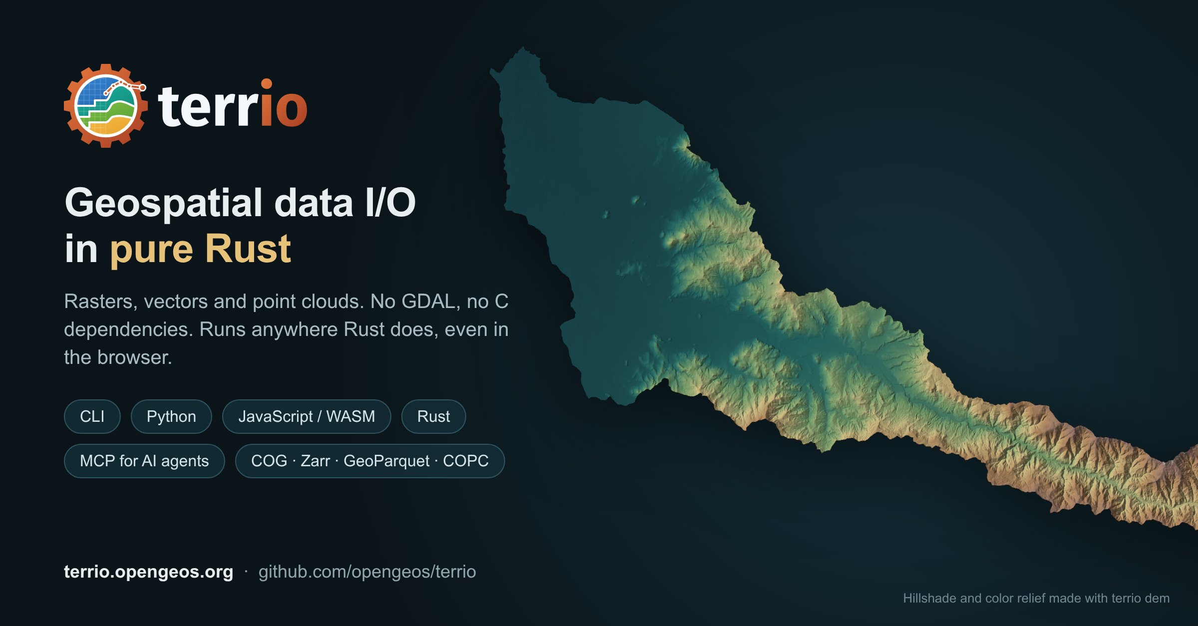
Introducing terrio: geospatial data I/O in pure Rust! terrio reads, writes, converts and reprojects geospatial rasters, vector data and point clouds, with no C dependencies. No GDAL or PROJ to install, nothing to compile: it builds anywhere Rust does, including WebAssembly, so the same engine runs on the command line, in Python, and in your web browser. What it does - Rasters: GeoTIFF and COG, Zarr and GeoZarr, netCDF, HDF5, PMTiles, MBTiles and more, read in place from the cloud, so only the bytes needed are fetched. - Vectors: GeoPackage, Shapefile, GeoJSON, FlatGeobuf, GeoParquet, OpenStreetMap PBF and vector tiles, with filters, field selection and reprojection. - Point clouds: LAS, LAZ, COPC, EPT, PLY and E57, with PDAL-style filters (ground classification, noise, heights above ground) and gridding into DSMs and DTMs. Files larger than memory are converted in chunks. - GDAL-style processing: translate, warp, mosaic, rasterize, polygonize, terrain analysis, raster calculator, proximity and sieve. - Remote data: http(s), S3, Google Cloud Storage, Azure, zip archives and STAC searches as inputs. - Accurate: coordinate transformations agree with GDAL's within a centimetre for all 6,354 EPSG CRSs GDAL transforms, and outputs are tested against GDAL on real-world data. - Fast: in our benchmarks, warping, mosaicking and writing COGs run several times faster than the GDAL utilities. - For AI agents: terrio mcp is an MCP server, so Claude Code, Claude Desktop, Cursor or VS Code can run terrio's commands on your data. Get it - Command line (Linux, macOS): curl -LsSf https://terrio.opengeos.org/install.sh | sh - Python: pip install terrio (with rasterio- and xarray-style APIs) - JavaScript/WebAssembly: npm install terrio-js - Rust: cargo add terrio Try it out - Playground in your browser: https://terrio.opengeos.org/playground/ - Documentation: https://terrio.opengeos.org - GitHub: https://github.com/opengeos/terrio #GIS #Rust #OpenSource #Geospatial #Python #LiDAR #CloudNative